Placing oblique photos on the map
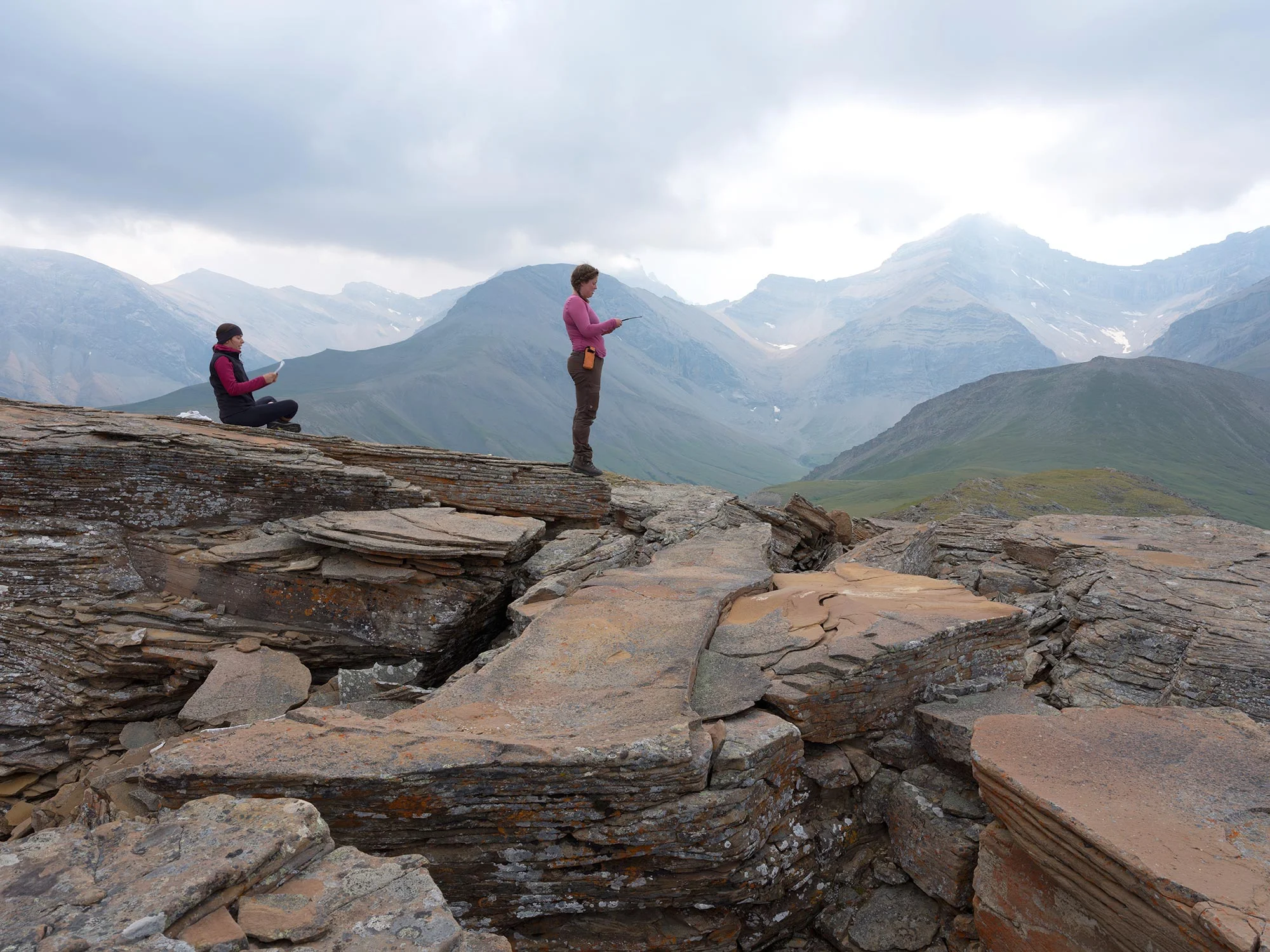
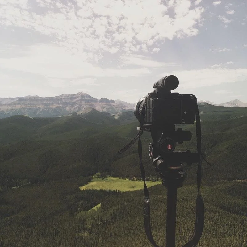
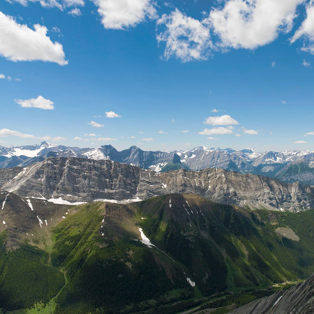
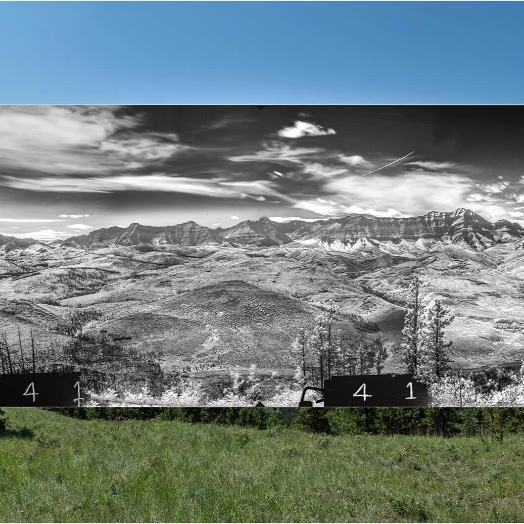
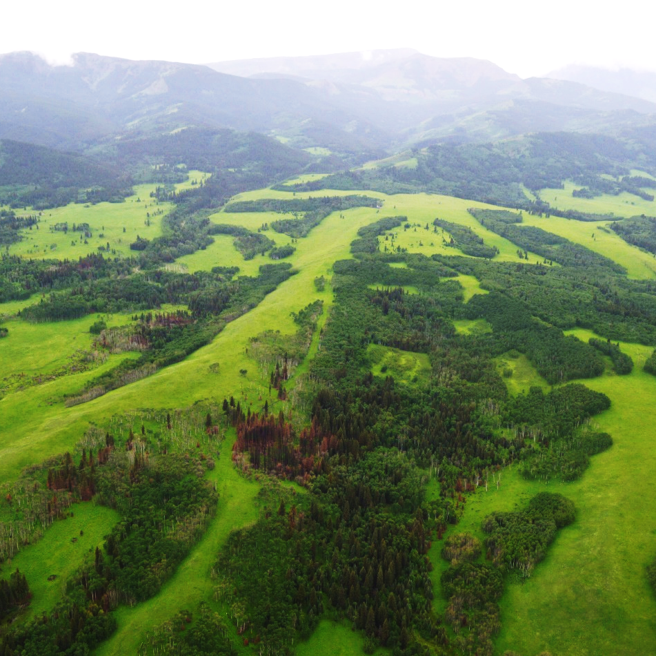
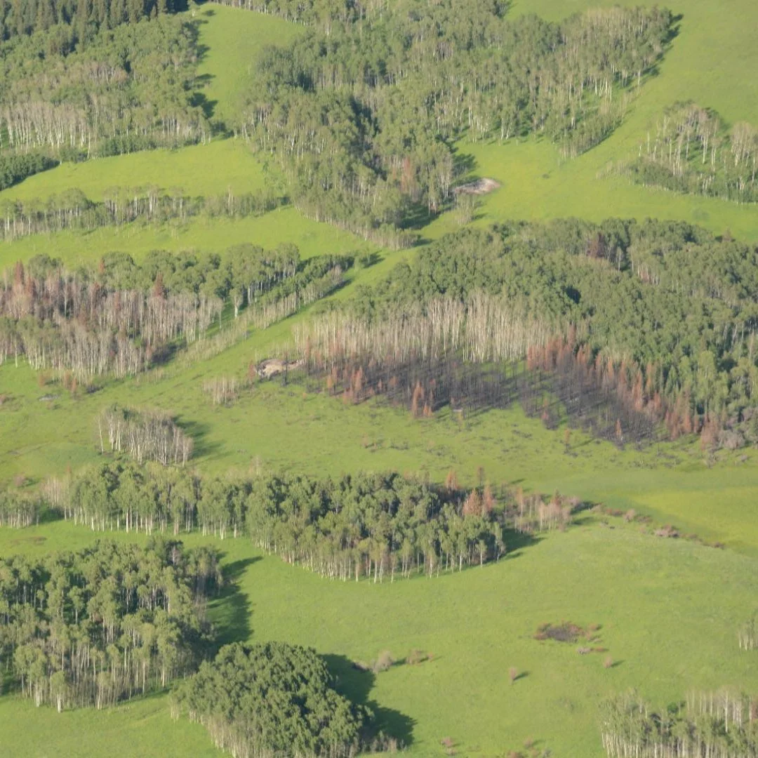
/The Landscapes in Motion Oblique Photo Team has the daunting task of scaling mountains to repeat photographs taken up to a century ago by land surveyors. In previous posts we’ve described how these intrepid researchers locate sites, line up their photos, and what it’s like working in the field. With the summer fieldwork over, we now get to learn how they are harnessing technology to analyze landscapes in these repeat photographs and collect data from them.
Read More